Arctic air continues to fall unusually far south, while Antarctic air continues to move abnormally far north. The reason for this is low solar activity, namely the weakening of jet streams, and the resulting cooling in the lower latitudes (where we humans live).
AUSTRALIA
Australia is shivering from a record cold snap, and frosty days will continue in the eastern regions through the weekend. Temperatures in Sydney dropped to 8.6C (47.5F) at 7 a.m. Thursday, marking the fifth consecutive day that mornings have fallen below 9C (48.2F).
It was also not only the coldest May night in the city in 54 years, but also “the coldest night this early in 66 years,” a Bureau of Meteorology spokesman said.
It was only 1C (33.8F) in Camden west of Sydney, 2C (35.6F) in Campbelltown, 3C (37.4F) in Penrith and 5C (41F) in Olympic Park. According to meteorologists, temperatures in eastern Australia will drop again Friday morning. Melbourne will see temperatures drop to 7C both Friday and Saturday, while Canberra will stay around zero, maybe a little lower, at least through Sunday.
Frosts will pass through areas of the South Downs in Queensland, across the northern ridges. In the future, starting May 24, it will be the turn of the western regions to experience polar winds.
CANADA
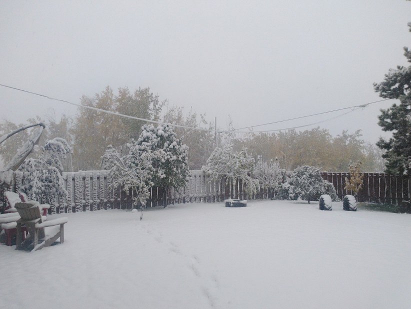
It was a cold week in most of Canada as well. Kamloops and the Okanagan, British Columbia, had record overnight lows. In Manitoba, a real snowstorm was raging.
Overnight temperatures were again near zero, in stark contrast to the daytime highs of 30C (86F) seen last weekend (another example of the Great Solar Minimum and fluctuations between extremes).
According to Environment Canada, there were many temperature records on the morning of May 19. A low of 1.3C (34.3F) was recorded at Kamloops Airport, breaking the previous record of 2.1C (35.8F) set in 2003. While in Penticton the temperature dropped to -0.8C (30.5F), wiping out the previous record of 0.3C (32.5F), also set in 2003.
Environment Canada meteorologist Doug Lundquist said he said the “cold snap wasn’t long enough” for the frost to damage newly planted summer crops.
Environment Canada released meteorological statements Monday and Tuesday about snow in the mountain passes. According to Lundquist, snow has fallen on Mt. Coquihalla on Highway 5 and on Ellison Pass on Highway 3. While Kootenay Pass and Rogers Pass received snow Wednesday night as the weather system moved eastward.
“There was snow on the higher sections, and even though it fell quite a bit overnight, people haven’t gotten used to it yet,” Lundquist said.